- Open Google Maps and you'll soon see this card, which you can swipe up for the feed. (Also, Google, a Pixel 1 skin from 2016? Really?)
- The community feed. You can follow this person and like their post.
- A news article from a food blog.
- A business-event post.
Google Maps is getting a bunch of new features this week, so it's time for a roundup! The first feature is definitely one nobody asked for: the new "Community Feed," which is clearly trying to turn Google Maps into a social network. Google's blog post says that "Every day, people submit more than 20 million contributions—including recommendations for their favorite spots, updates to business services, fresh reviews and ratings, photos, answers to other people's questions, updated addresses and more." So now Google Maps is getting a News Feed full of all these reviews and updates.
Google's sales pitch reads "The feed shows you the latest reviews, photos and posts added to Google Maps by local experts and people you follow as well as food and drink merchants, and articles from publishers like The Infatuation." All of these updates are in the style of a social network, with the author at the top, a "follow" link for the author, and the ability to "like" posts. The only thing they're missing are the comments!
To show how serious Google is about this Google Maps Social Network thing, it is putting the community feed front-and-center in the interface. When you open Google Maps, the community feed card peeks up from the top of the screen, right on the main page of Maps. You just swipe up on it to read the latest updates. If you're not on the main page of Maps, the community feed lives under the "explore" tab, the first tab on the Google Maps tab bar. This also looks like a great spot for ads.
Besides people you actively follow, it sounds like Google Maps is going to push updates from "local experts" to everyone, which hopefully won't be abused. Google has to assume that, especially at first, everyone is going to have zero followers, so you've got to fill the feed with something. Google also says it will try to figure out your Google Maps interests and will fill the feed with recommendations for similar places. Today these recommendations exist in the "updates" tab, which is still in Google's new images. Seems redundant.
Building numbers and crosswalks
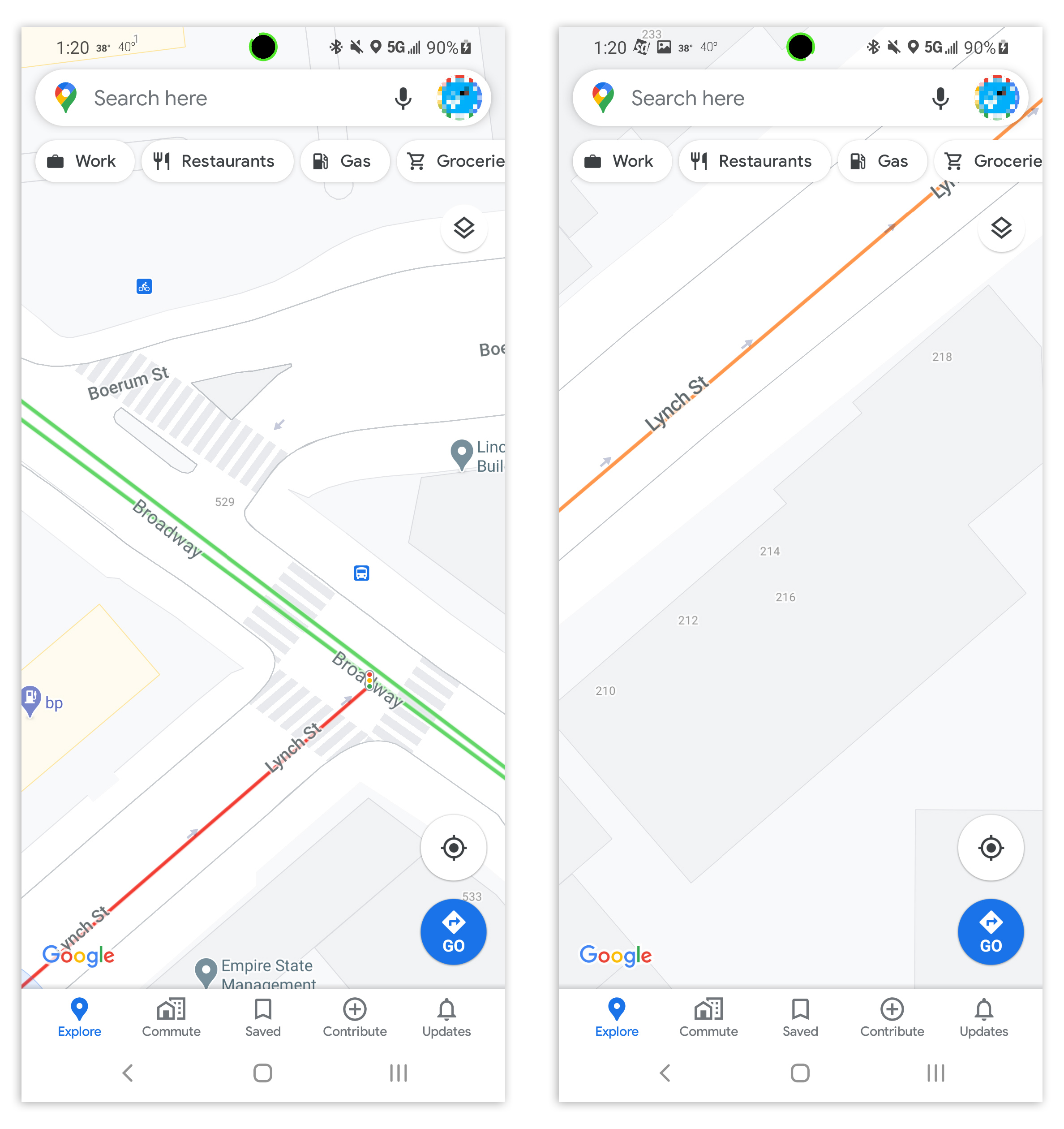
For a less controversial addition, how about building numbers and crosswalks? Android Police has spotted even more detail being added to certain cities in Google Maps. If you zoom all the way in on places like NYC, you'll see striped crosswalk paint in some roads and tiny-little building numbers letting you know where the exact addresses are. These go great with Google Maps' other recent detail addition: traffic lights.
Android Police says this was first spotted in the Android Google Maps Beta, which you can sign up for here. I'm also seeing it on Google Maps on the Web.
The “Go” tab: Google Maps Bookmarks
More tab shenanigans: Google Maps' "Commute" tab (the second one) is turning into the "Go" tab, which sounds a lot more useful. Commute would only list navigation options to your home and work, but the "Go" tab is more of a general bookmark section. Besides your home and work, you can also pin frequently visited places to the "Go" tab, and navigate them to with a tap. It looks like this will also show suggestions too, which are typically based on things like your travel and search history.
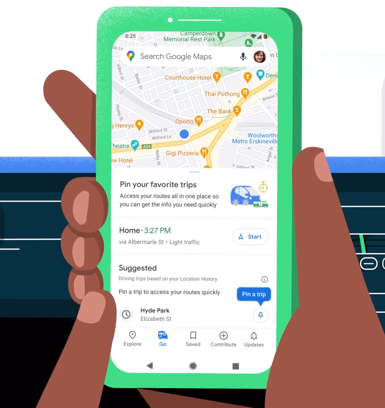
Google says your pinned destinations will show live-traffic info and accurate ETAs right from Go tab, which sounds handy. You can also pin public transit routes, which will show departure and arrival times, an up-to-date ETA, and any service alerts.
Google says "The Go Tab starts rolling out on Android and iOS in the coming weeks." There's no word on if you'll be able to access these bookmarks from the Web. Google didn't say anything about the social network being on the Web either. Someone remind Google that Google Maps has a website.
“Connected Photos” for Street View
- Making a Connected Photo. Just hit record and walk.
- Viewing a Connected Photo. Note how there's no rotation, like you would get in a 360 photo.
- This is one of the contributed pictures, which was taken while driving.
Google's ground-level Street View feature is getting another form of imagery that's easier to record without special equipment. "Connected Photos" is a new feature that more-or-less replicates the experience of walking down a street with street view but without the hassle of taking a 360-degree photo. You just fire up the new Street View app, walk (or drive) down the street, and some sort of imagery will be created.
The feature requires an ARCore-compatible phone, Google's 3D-sensing Augmented Reality framework. It sounds like what is happening is that Google is recording a video with some 3D positional data, and as you move down the street, the best frames will be saved and converted into a series of still images for Street View. These aren't 360 images, so you won't be able to turn the camera, but you will be able to press the forward and backwards buttons to virtually walk down the street.
Back when this feature was in testing, it used to be called "Driving Mode" for Street View. So I guess Google wanted you to put the phones in a car mount, fire up the app, and let it collect as much data as possible while you drive around. The blog post shows a photo from the middle of a five-lane highway, so it seems like turning yourself into an amateur, 120-degree Street View car is still something Google would like you to do.
Google's blog post says "Before this feature, you would typically need special 360-degree cameras to capture and publish Street View imagery." That is... not accurate. Android has been able to capture Street View imagery for years, via the PhotoSphere feature that launched in 2012 on Android 4.2. Google Maps uploads of PhotoSpheres have been supported since 2013. PhotoSpheres are full 360 images, and taking them on a phone involves stitching together something like 15 photos. While the wizard walks you through the steps, it takes forever to make one, so Connected Photos is a simpler, higher-bandwidth way for the public to contribute pictures. It sounds like this is only an Android feature again, and you'll need a new version of the Street View app, not Google Maps.
Listing image by Google
Article From & Read More ( Google Maps' new “Community Feed” is like a social network for food - Ars Technica )https://ift.tt/37CgZRI
Technology
Bagikan Berita Ini


0 Response to "Google Maps' new “Community Feed” is like a social network for food - Ars Technica"
Post a Comment